Observation Center · Lake Poopó, Bolivia
Observation Center · Lake Poopó, Bolivia
A research and sonification network on the shoreline of a lake that keeps disappearing — turning invisible contamination into sound.
Concept
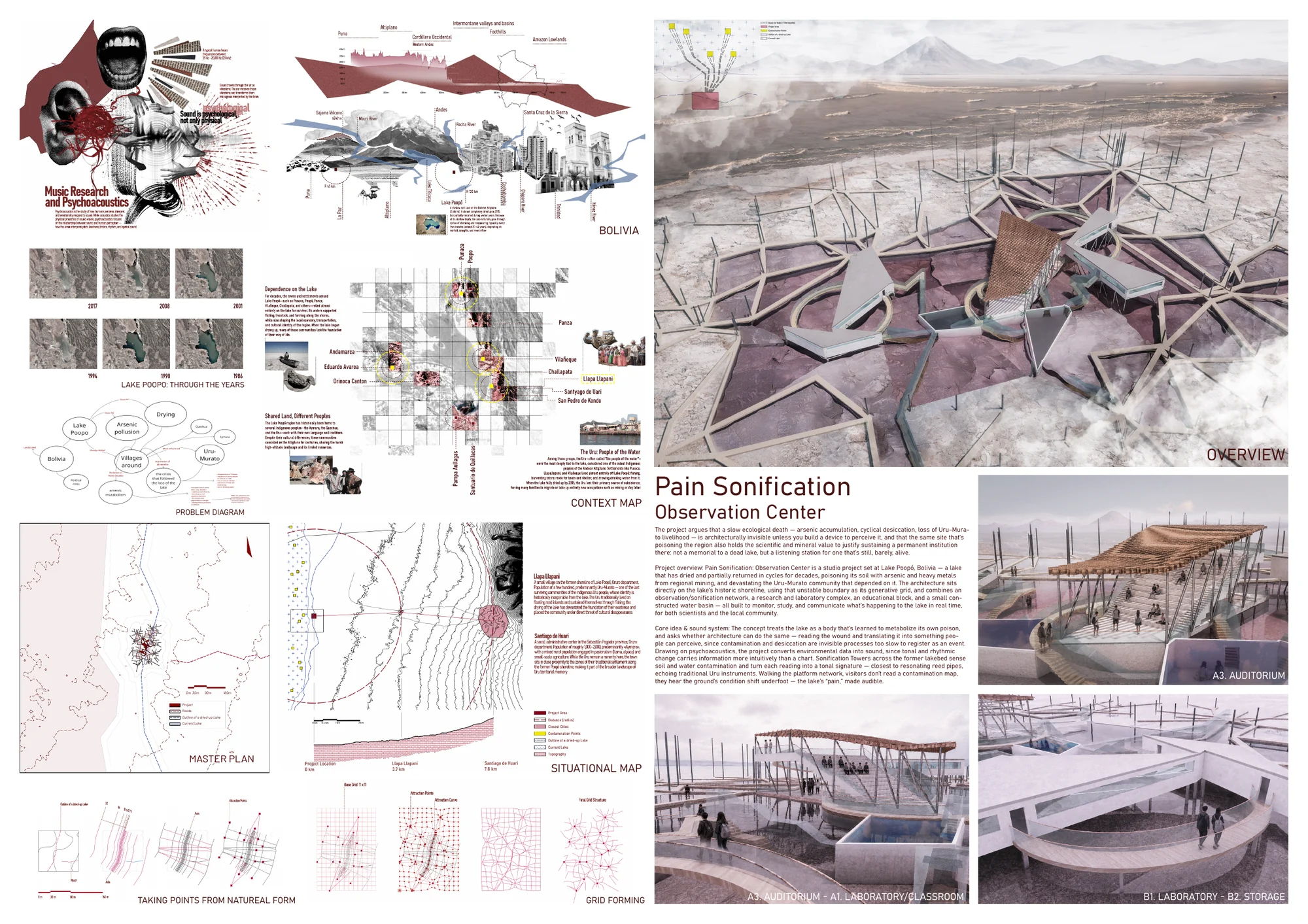
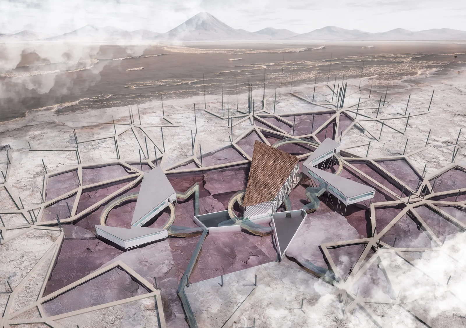
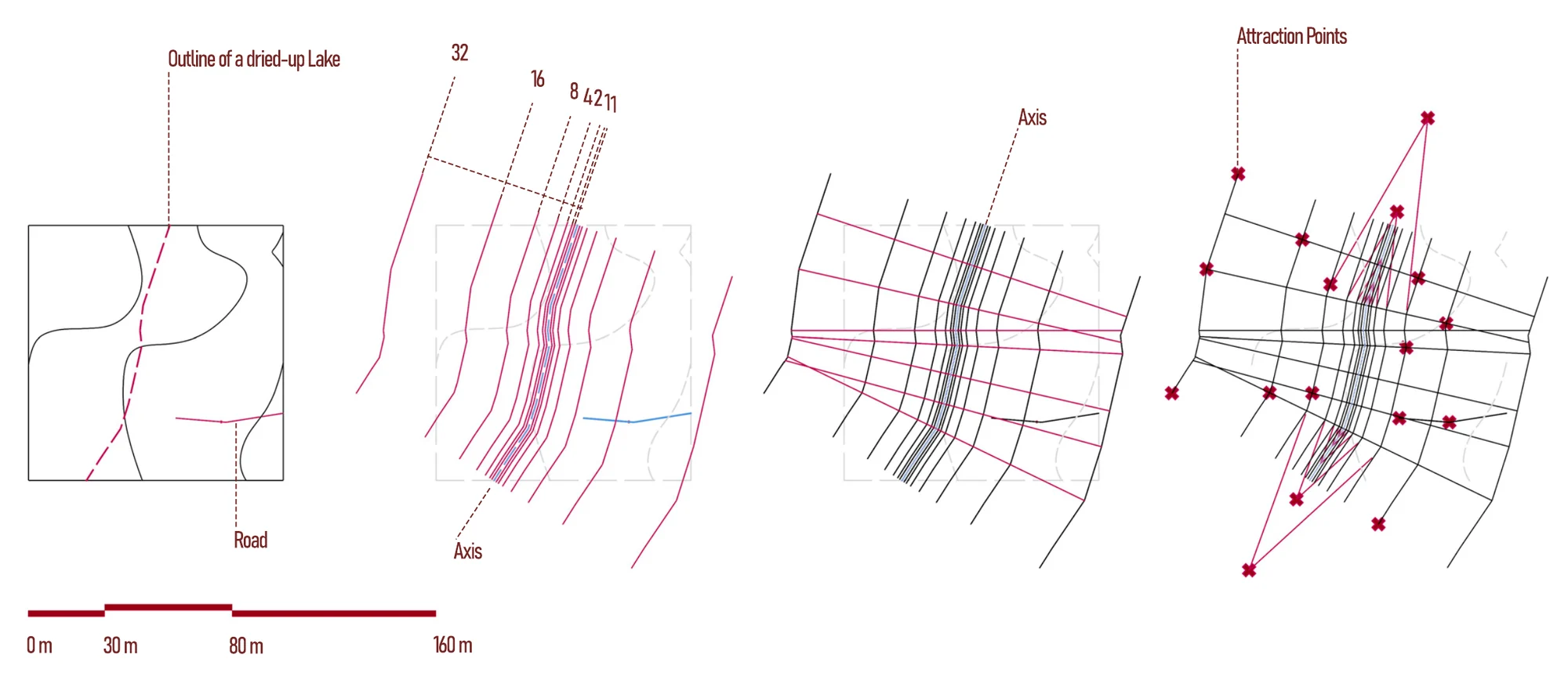
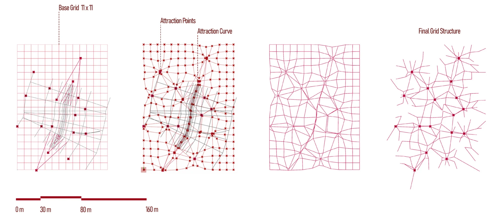
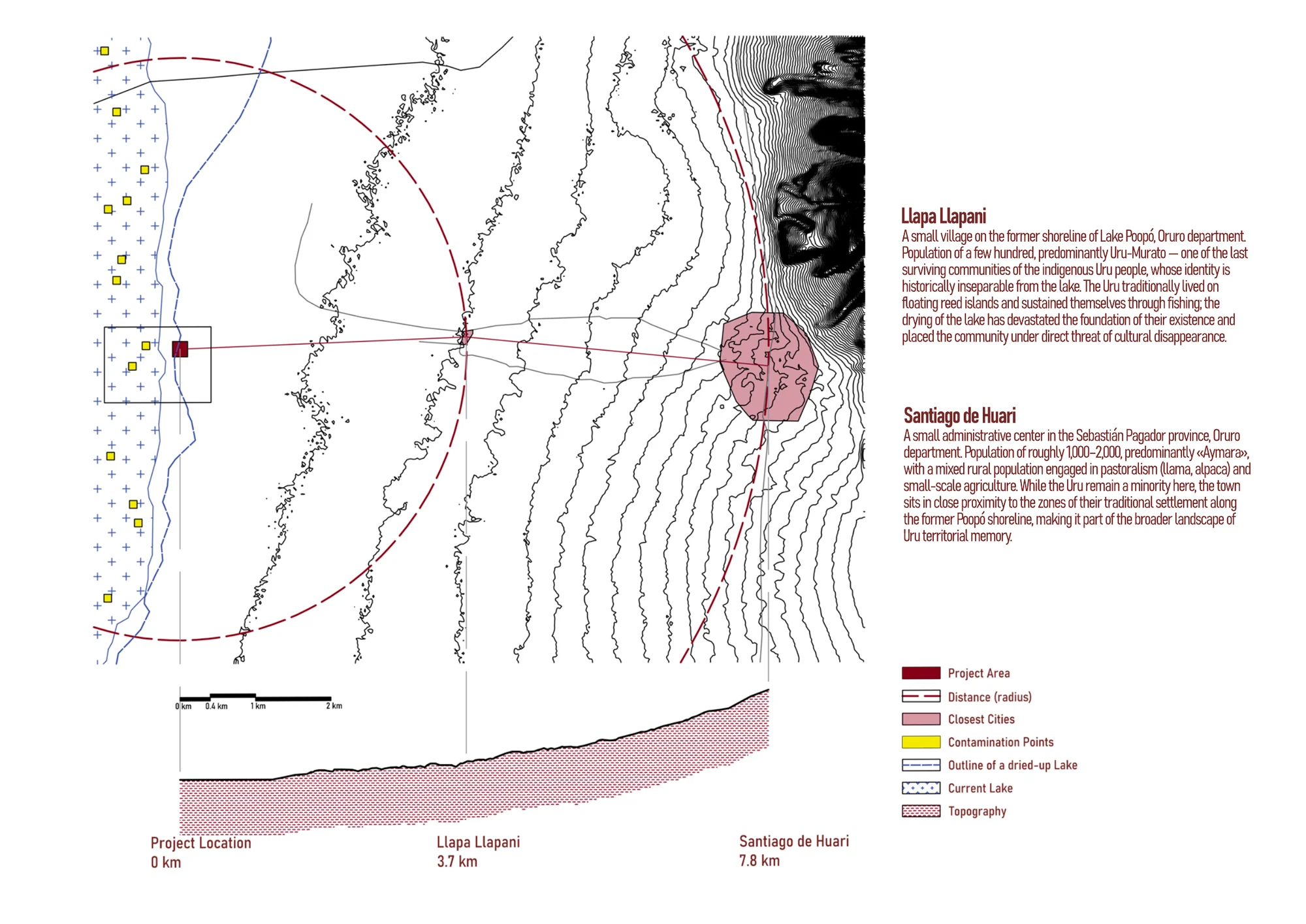
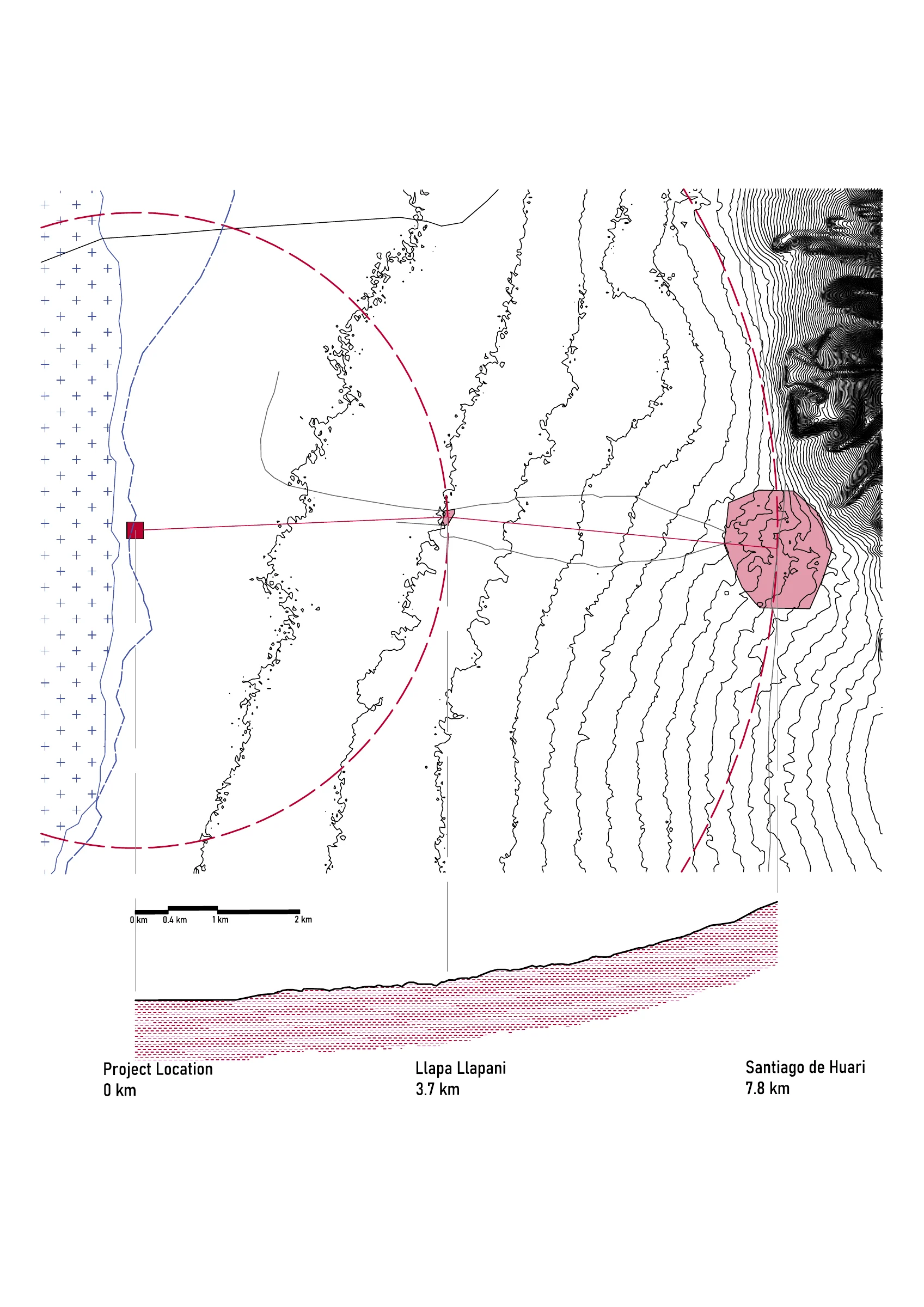
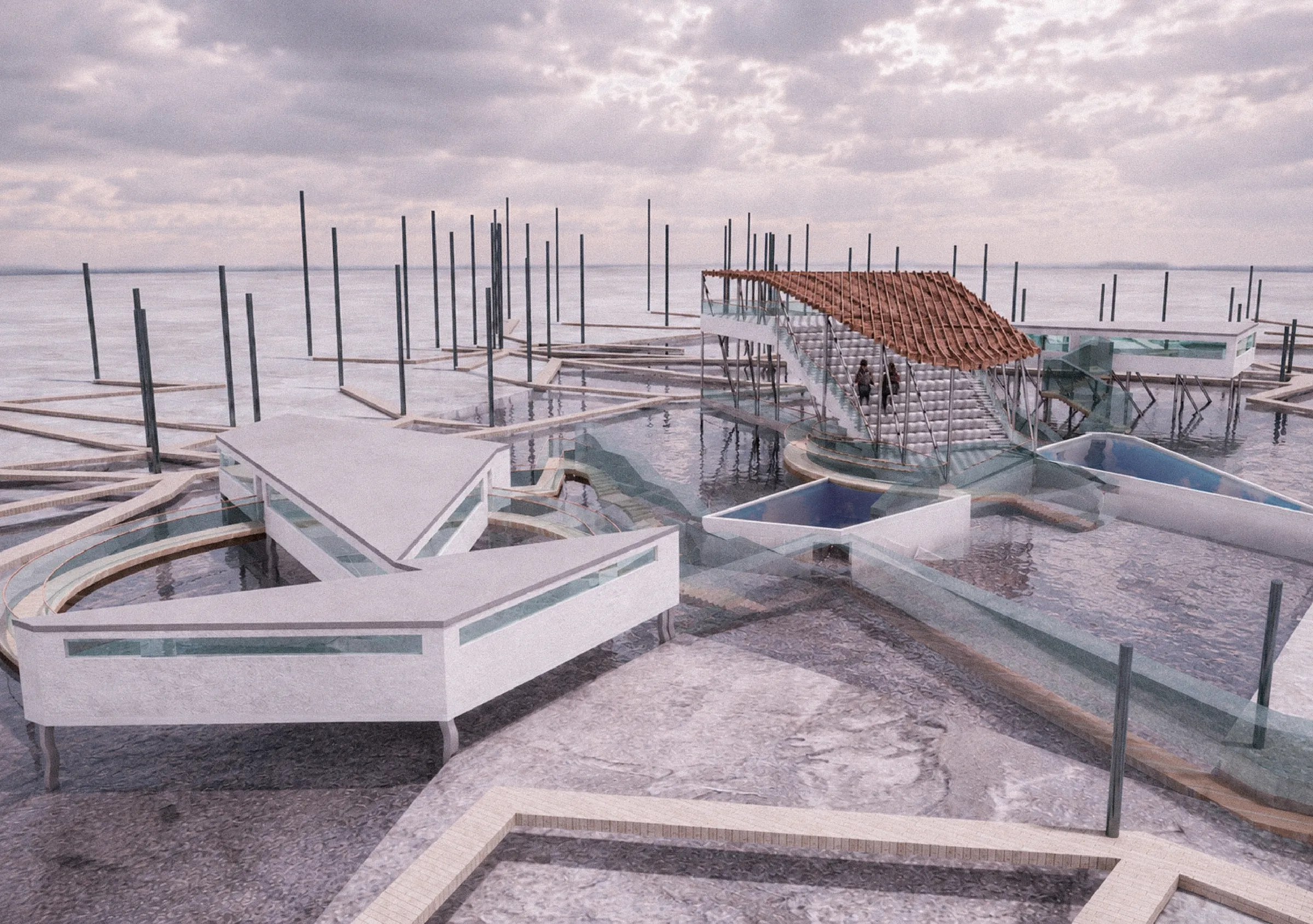
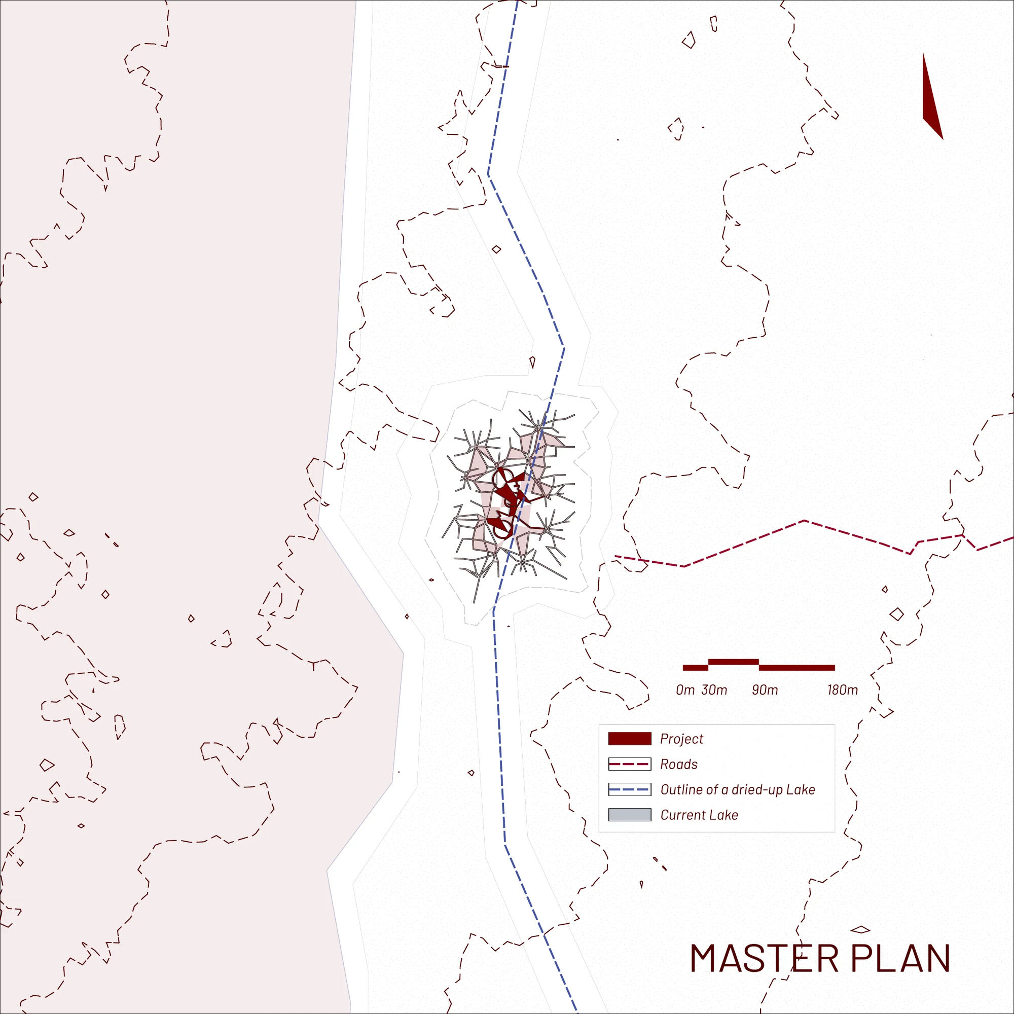
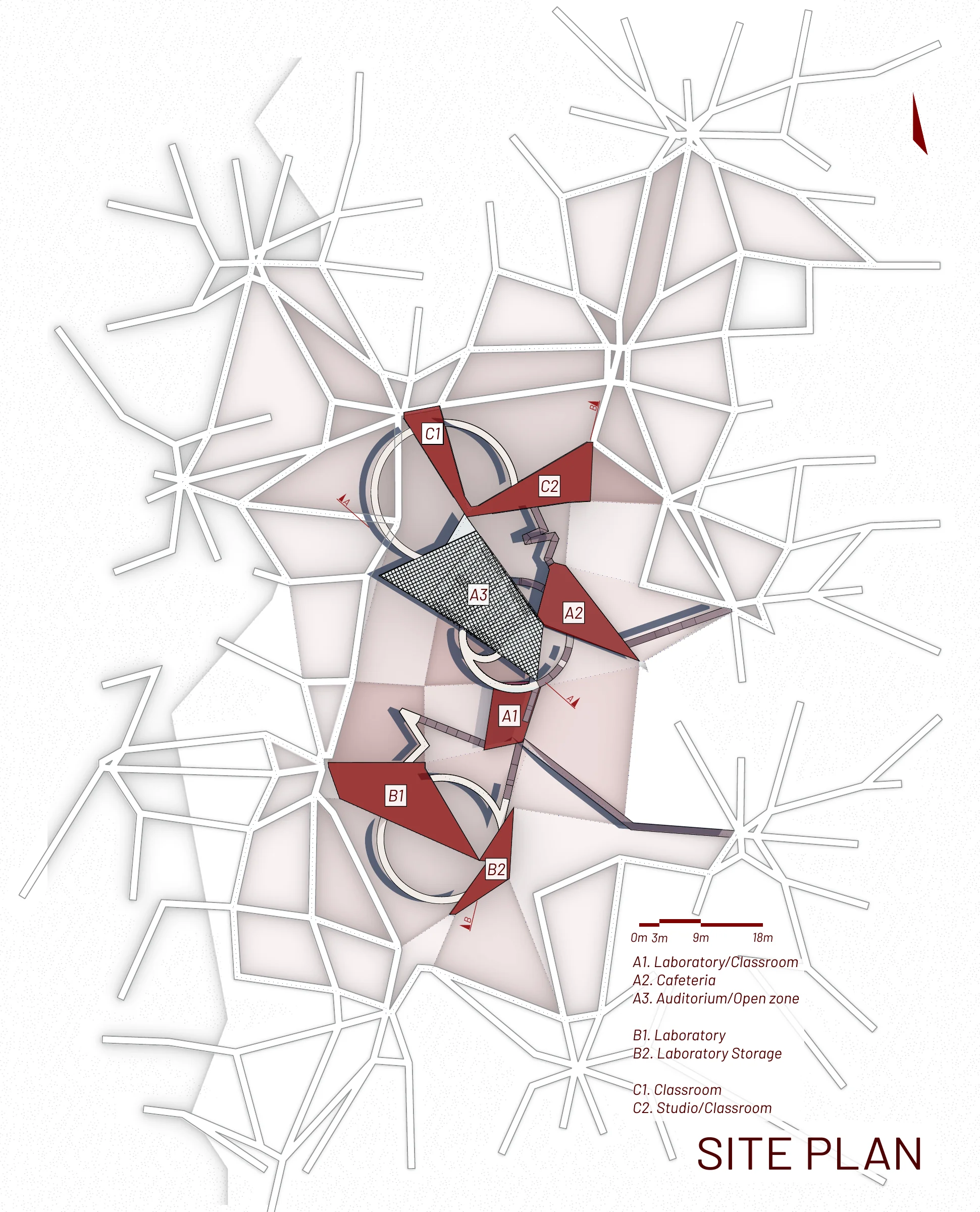
Pain Sonification is a studio project set at Lake Poopó, Bolivia — a lake that has dried and partially returned in cycles for decades, poisoning its soil with arsenic and heavy metals from regional mining and devastating the Uru-Murato community that depended on it. The architecture sits directly on the lake’s historic shoreline, using that unstable boundary as its generative grid. It combines an observation / sonification network, a research and laboratory complex, an educational block and a small constructed water basin — all built to monitor, study and communicate what is happening to the lake in real time, for both scientists and the local community.
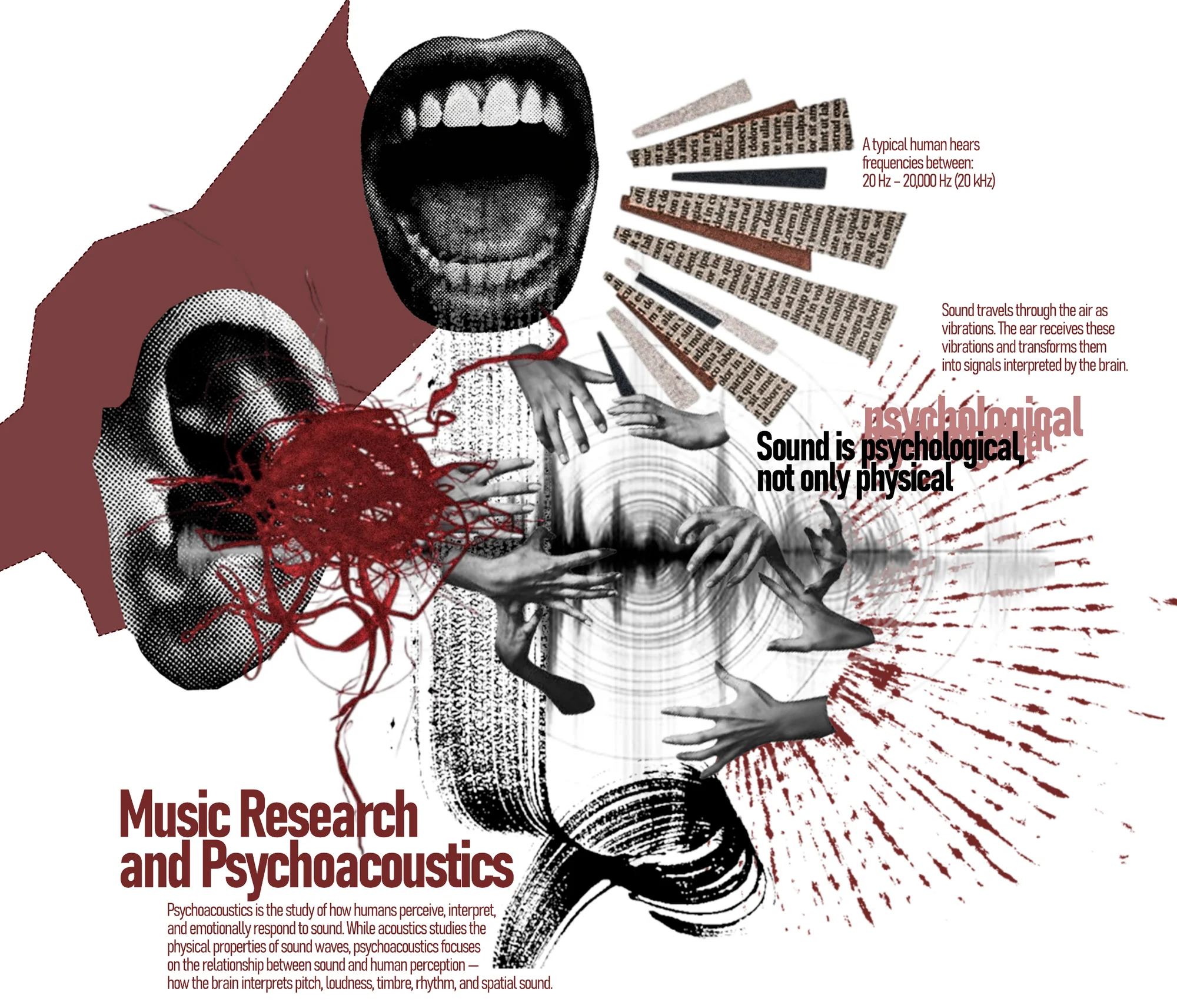
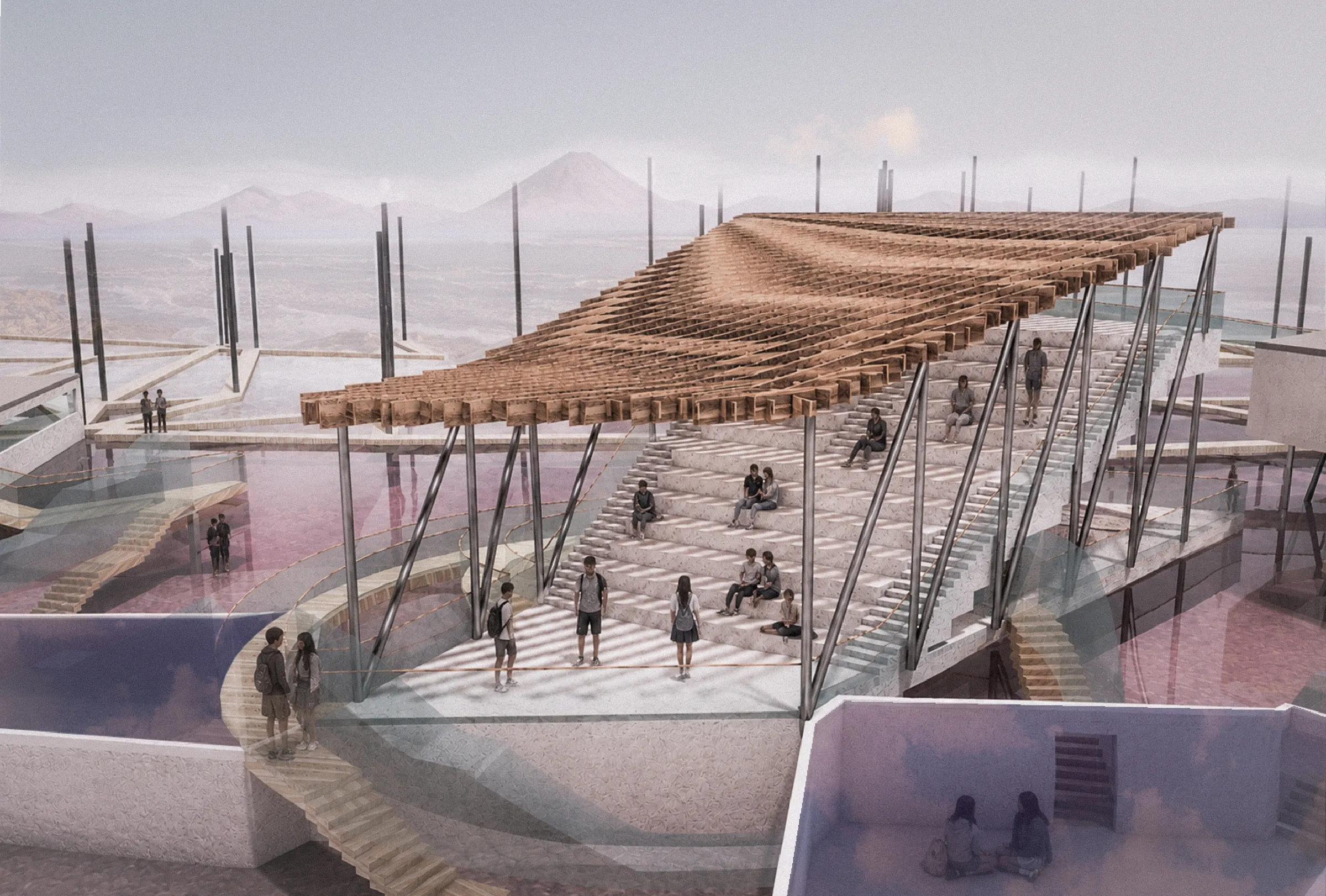
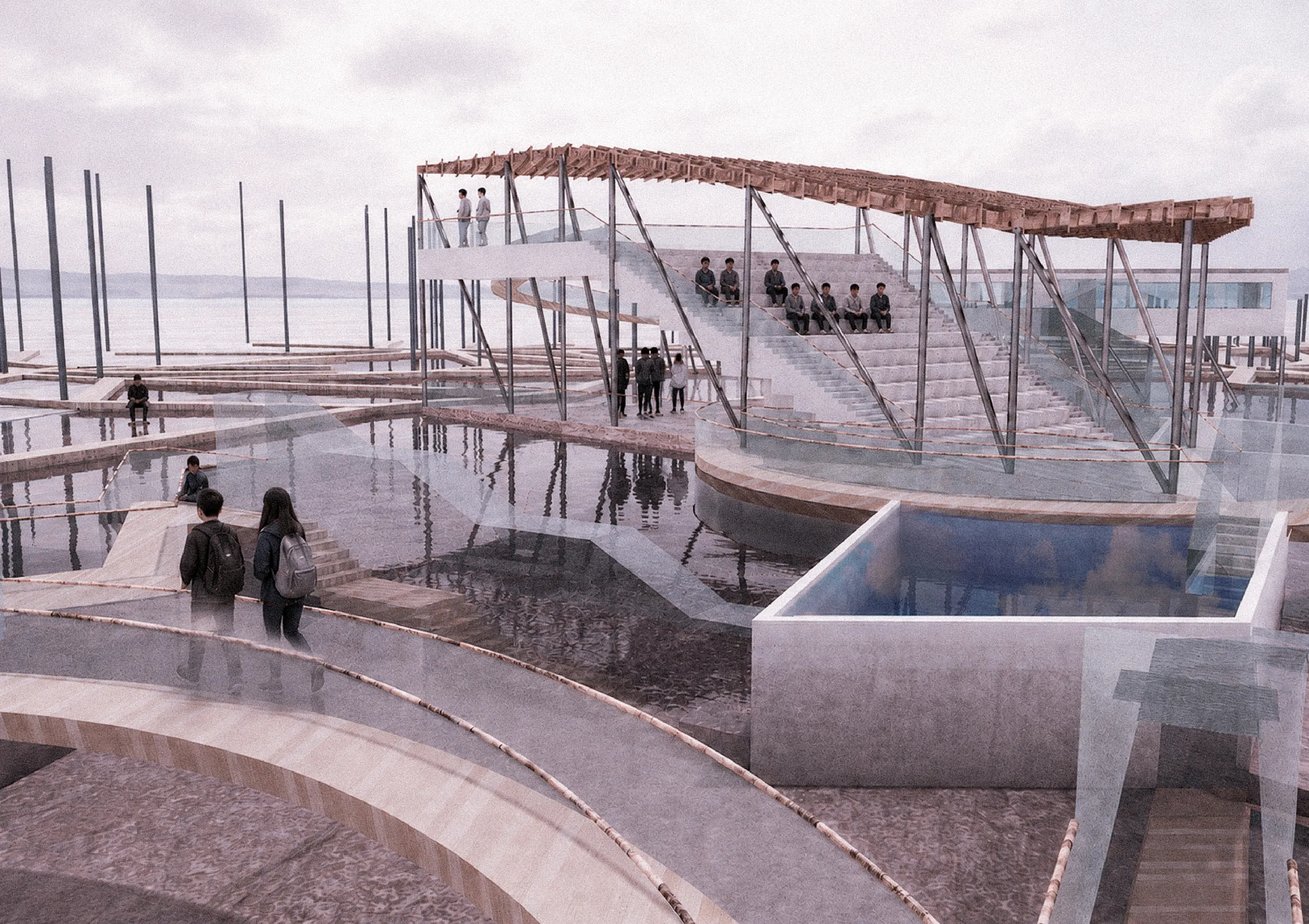
The concept treats the lake as a body that has learned to metabolize its own poison, and asks whether architecture can do the same — reading the wound and translating it into something people can perceive, since contamination and desiccation are invisible processes too slow to register as an event. Drawing on psychoacoustics, the project converts environmental data into sound, because tonal and rhythmic change carries information more intuitively than a chart. Sonification Towers across the former lakebed sense soil and water contamination and turn each reading into a tonal signature — closest to resonating reed pipes, echoing traditional Uru instruments. Walking the platform network, visitors do not read a contamination map: they hear the ground’s condition shift underfoot — the lake’s «pain», made audible.
Context
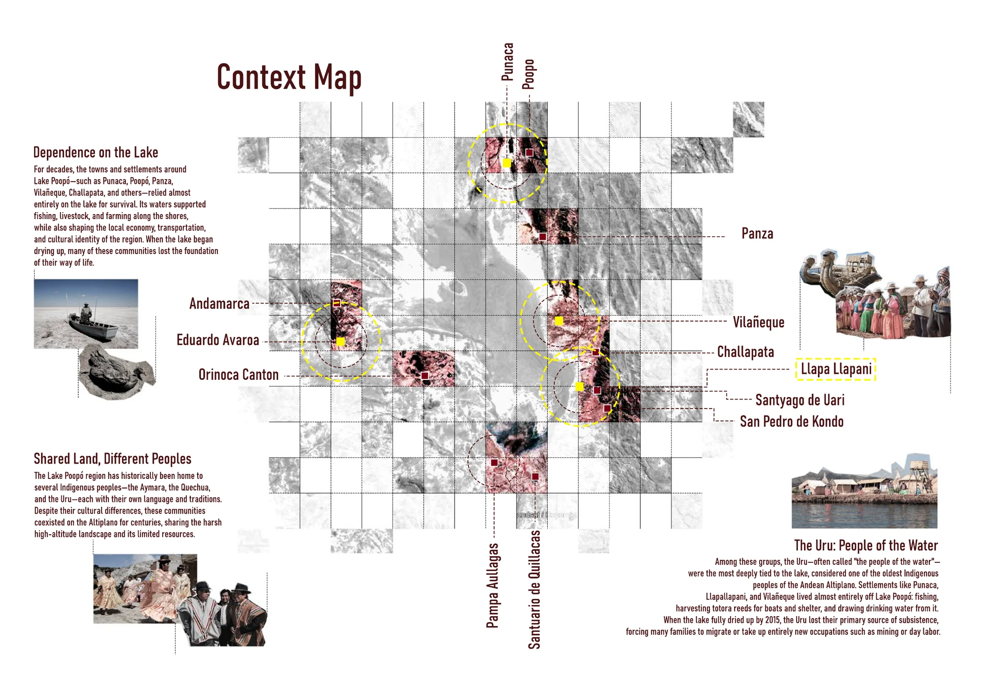
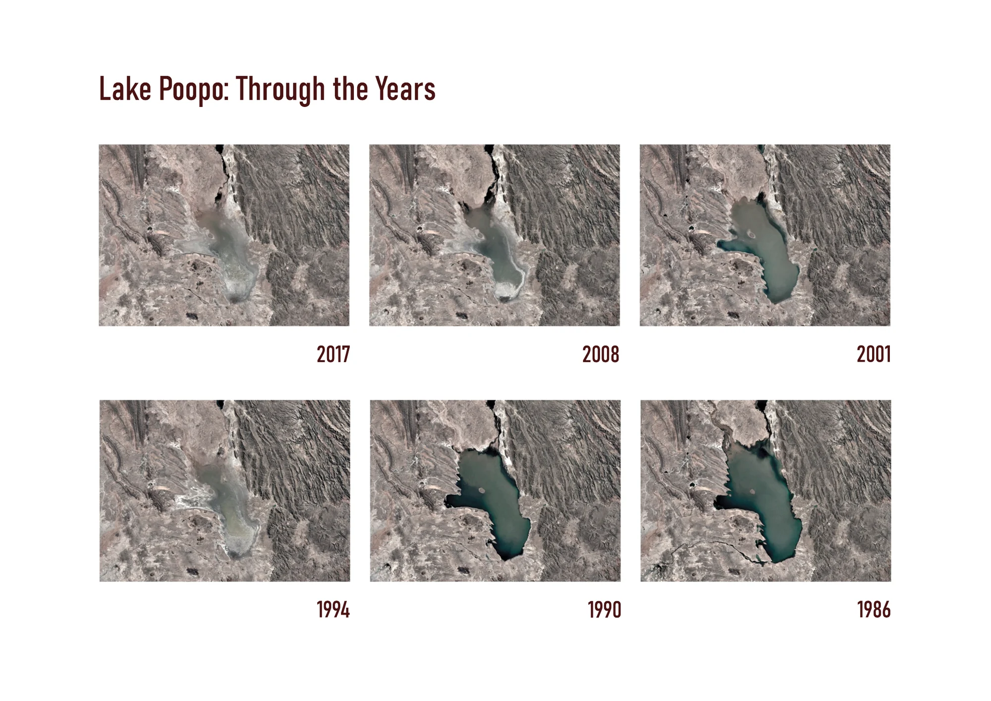
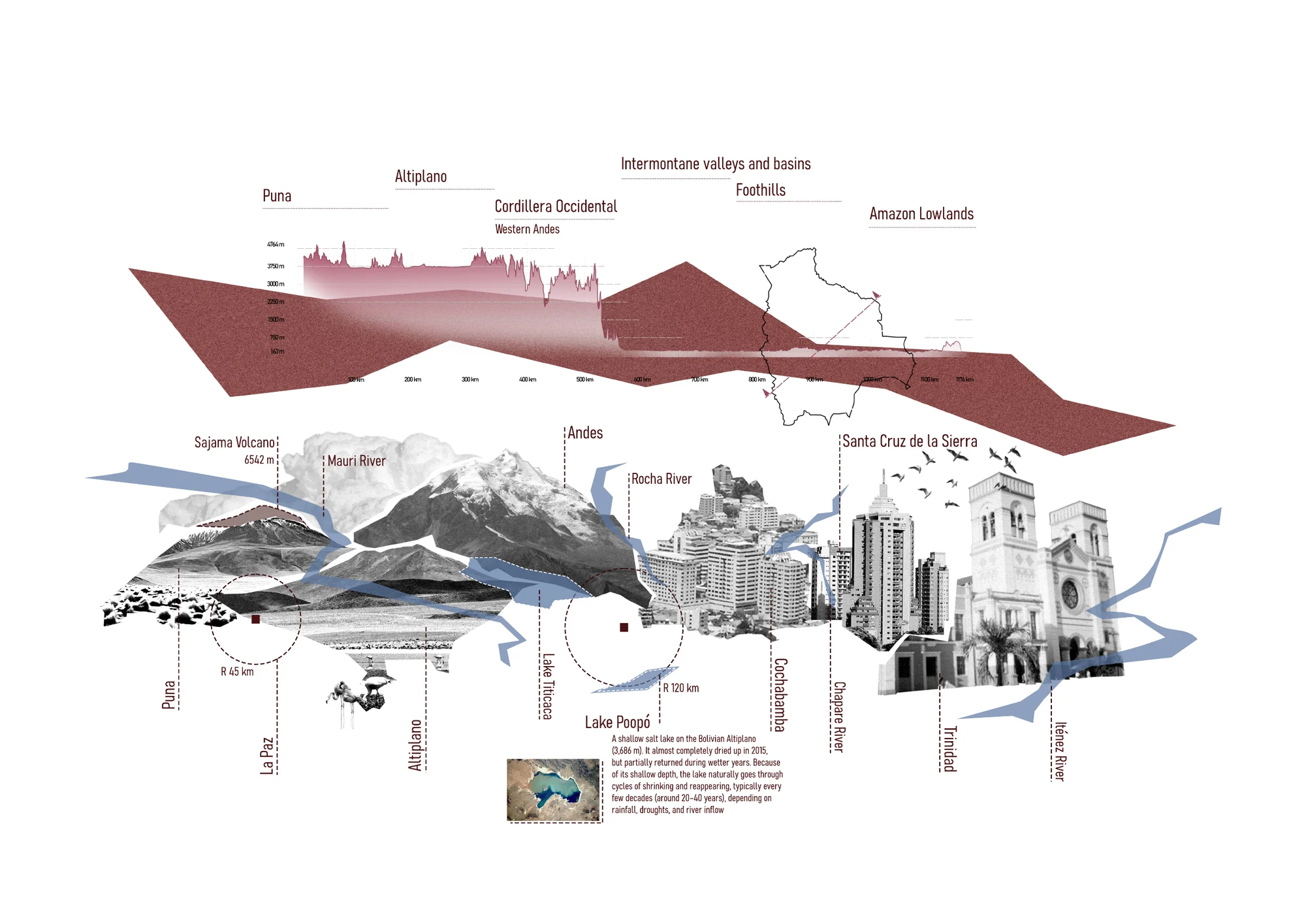
Lake Poopó almost dried up in 2015 and returns and recedes every few decades. The Uru-Murato — «the people of the water» — lived from fishing, totora reeds and drinking water taken from the lake; when it vanished, many families had to migrate or take up work in mining.
Form & program
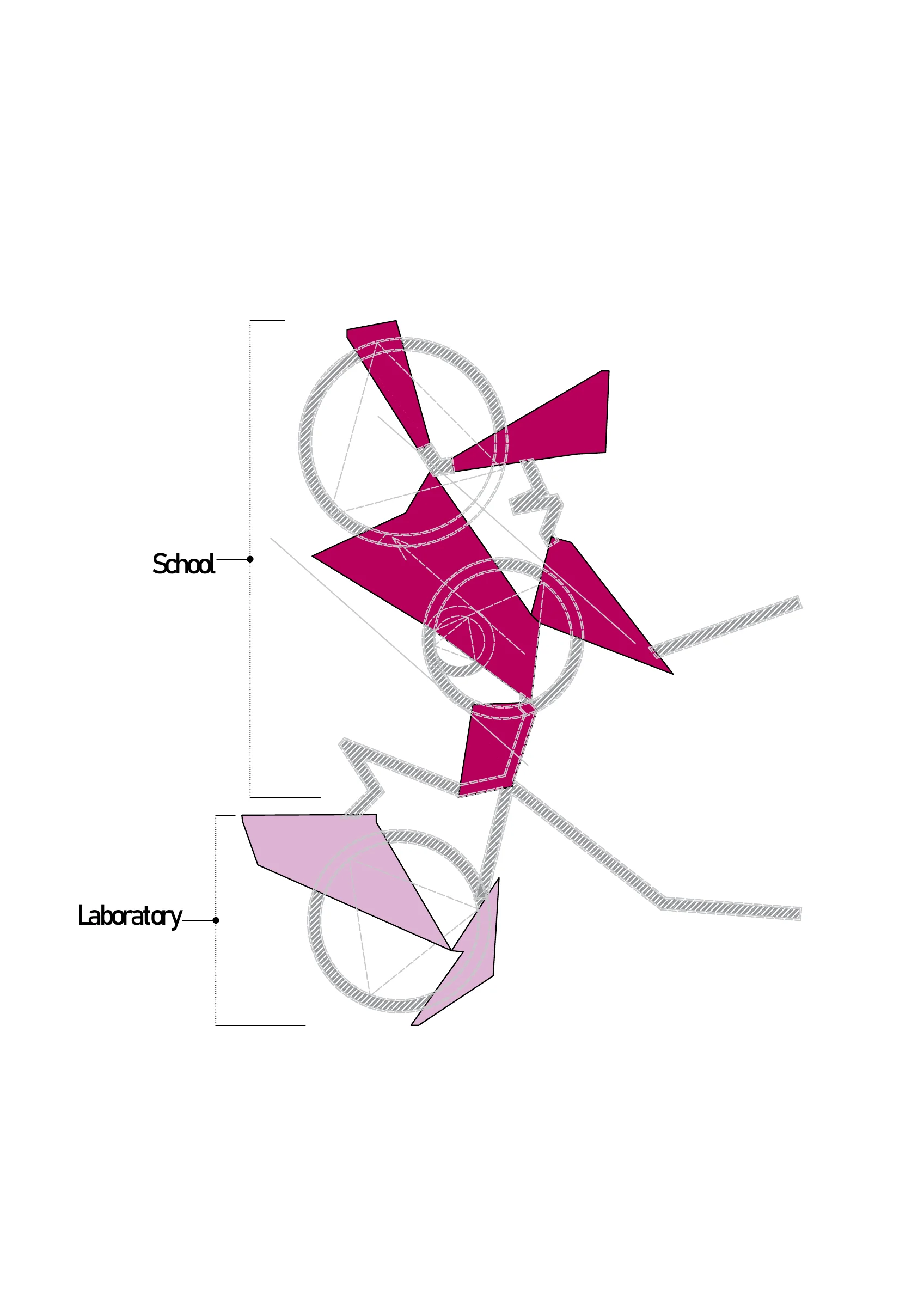
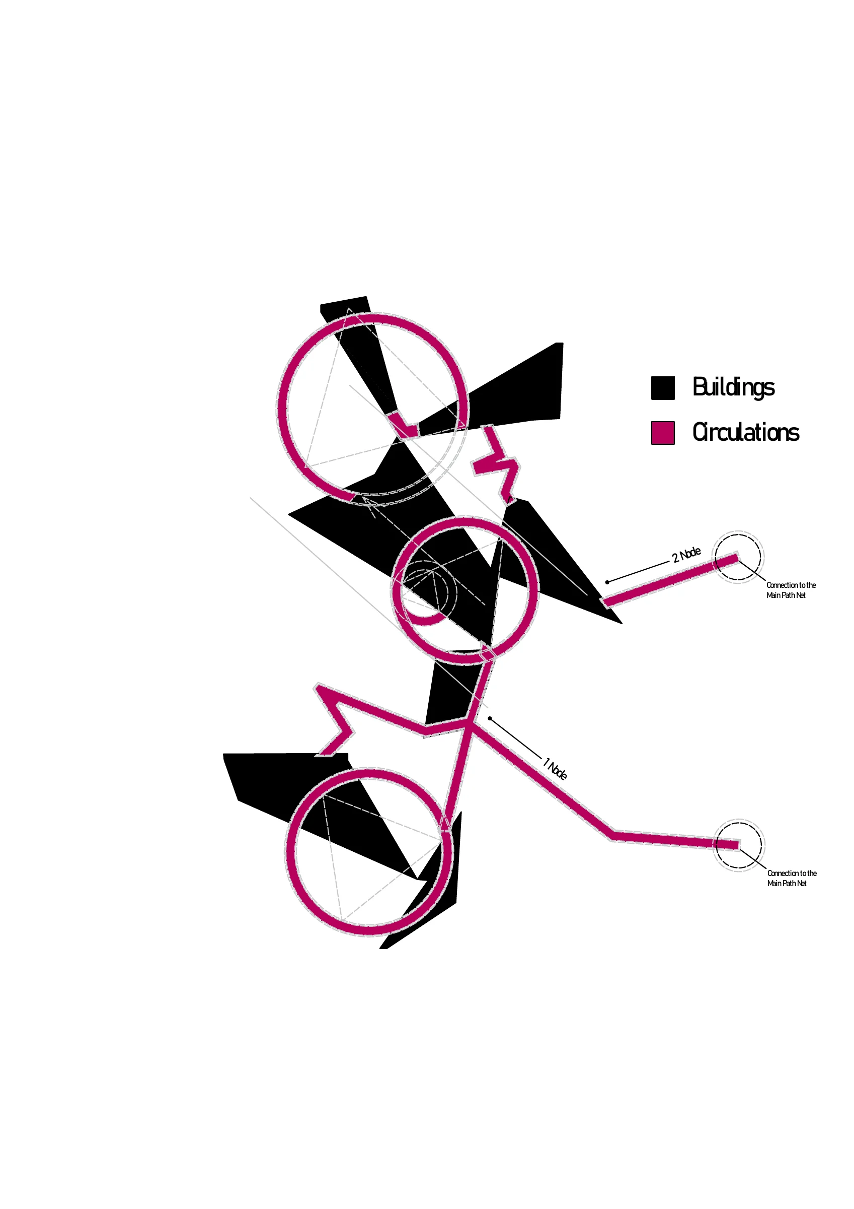
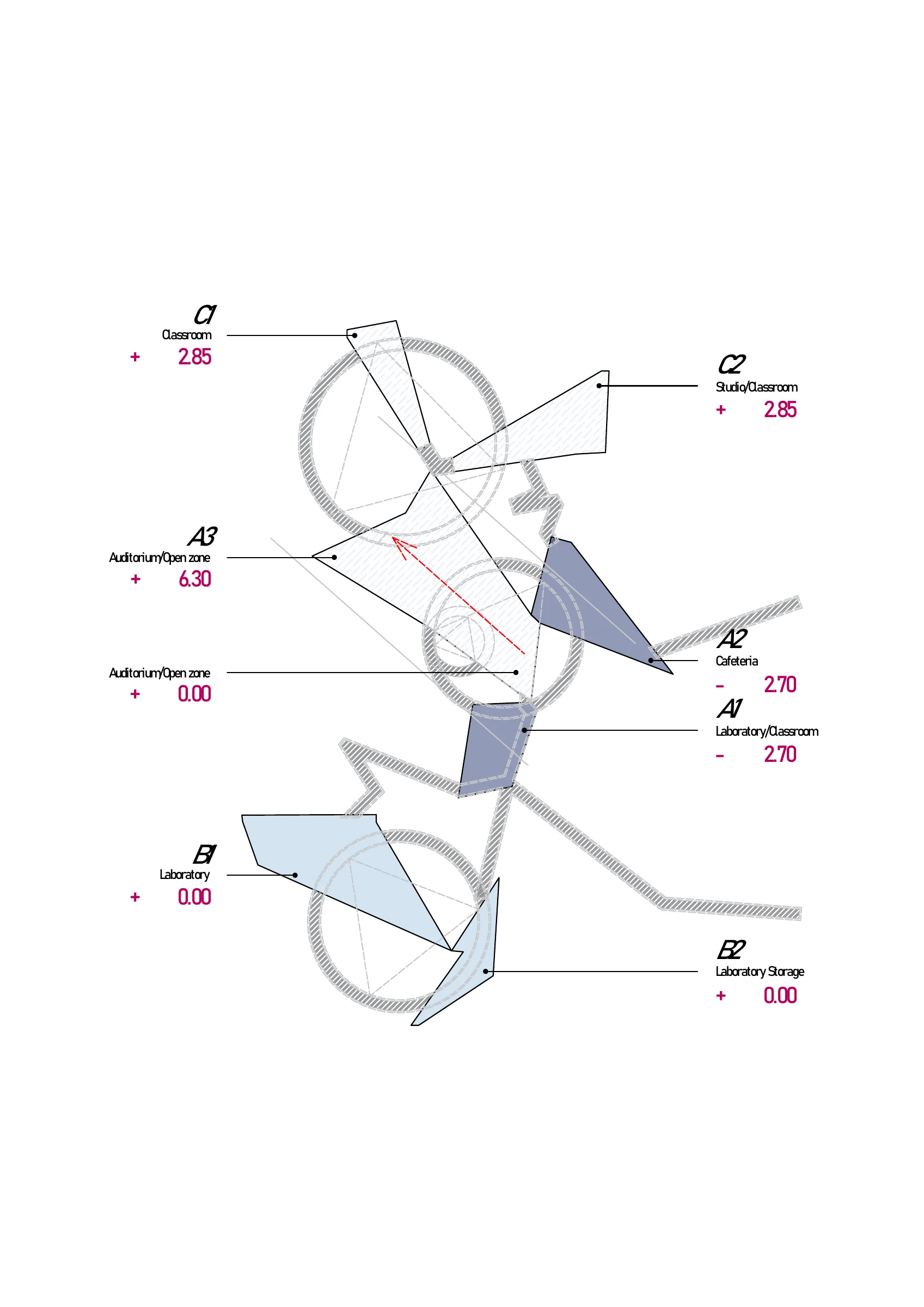
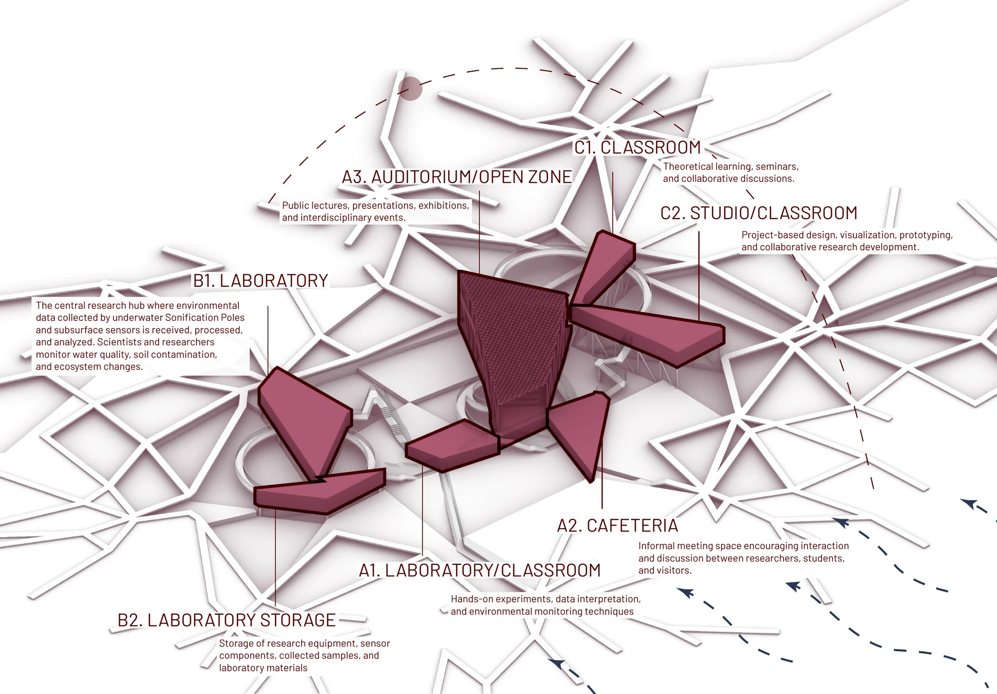
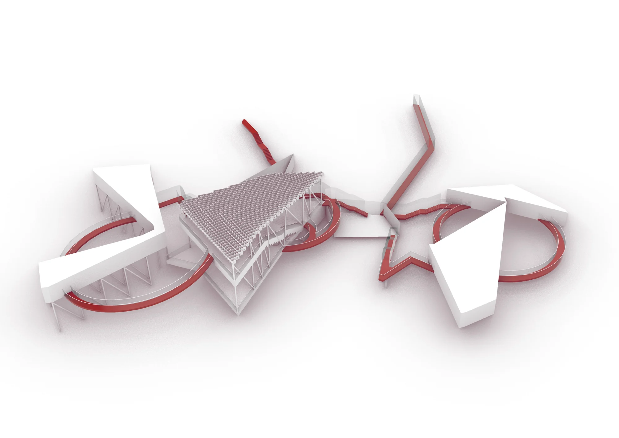
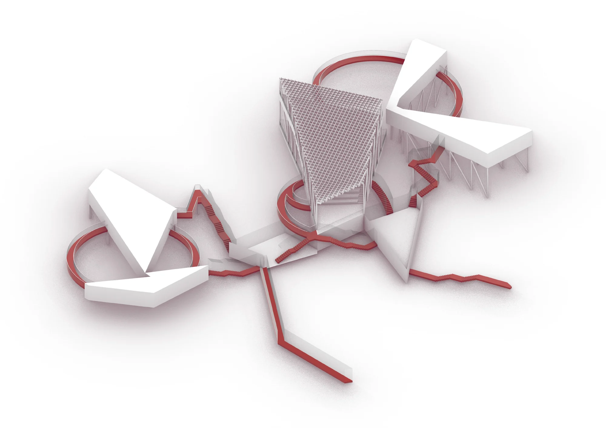
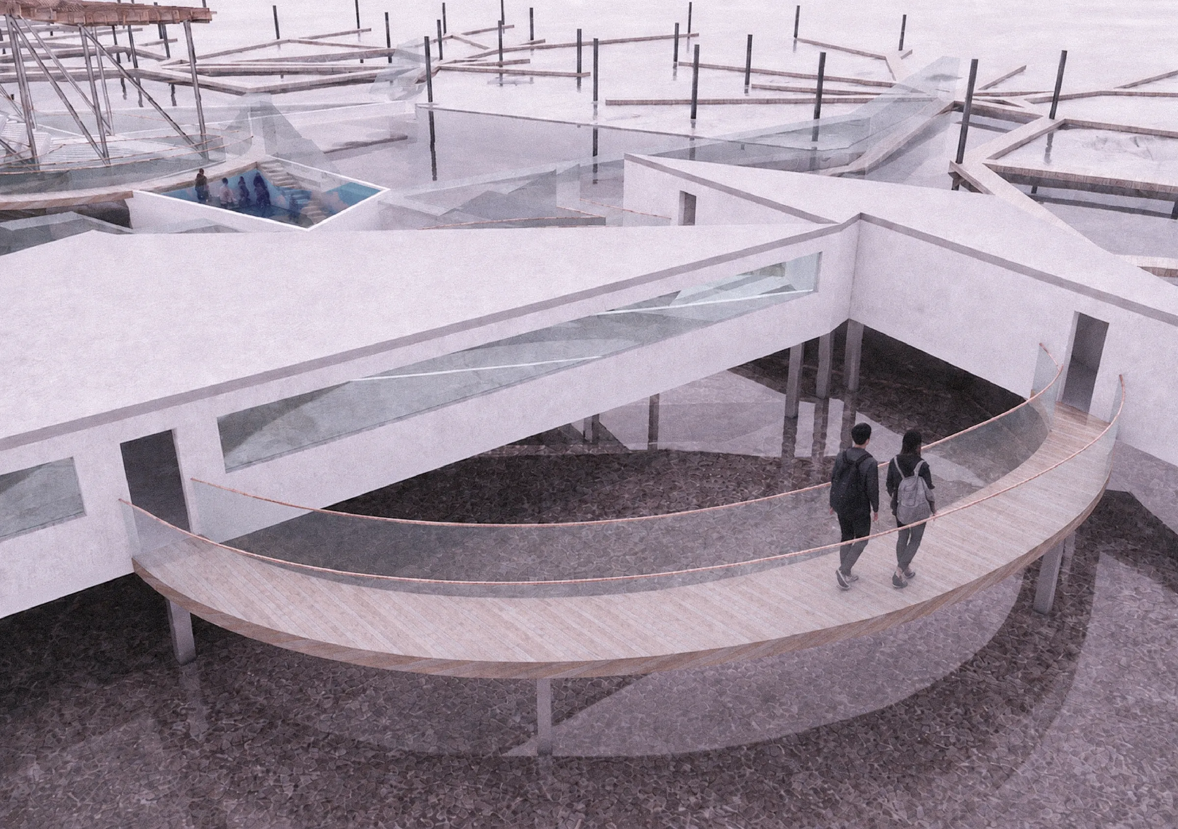
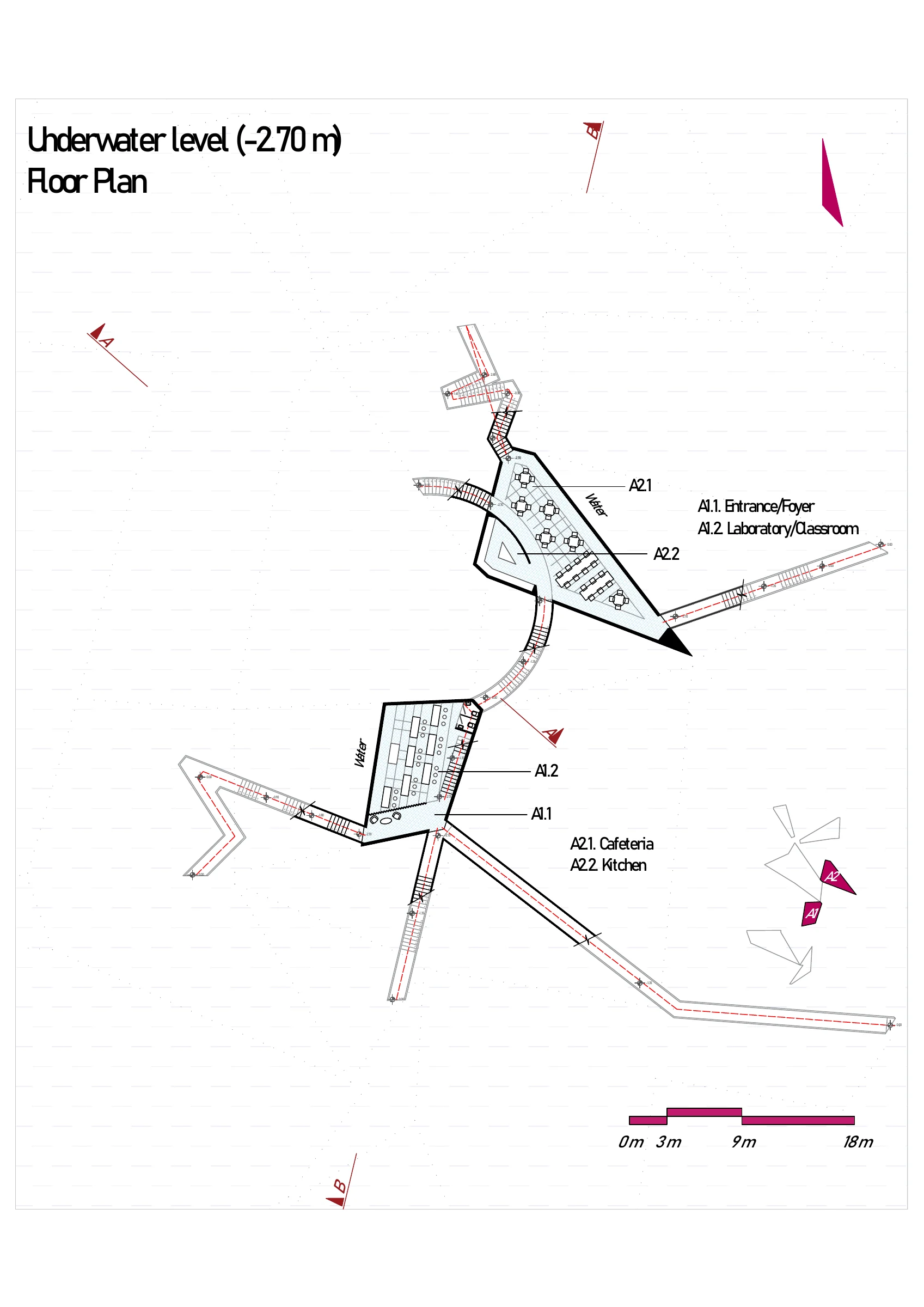
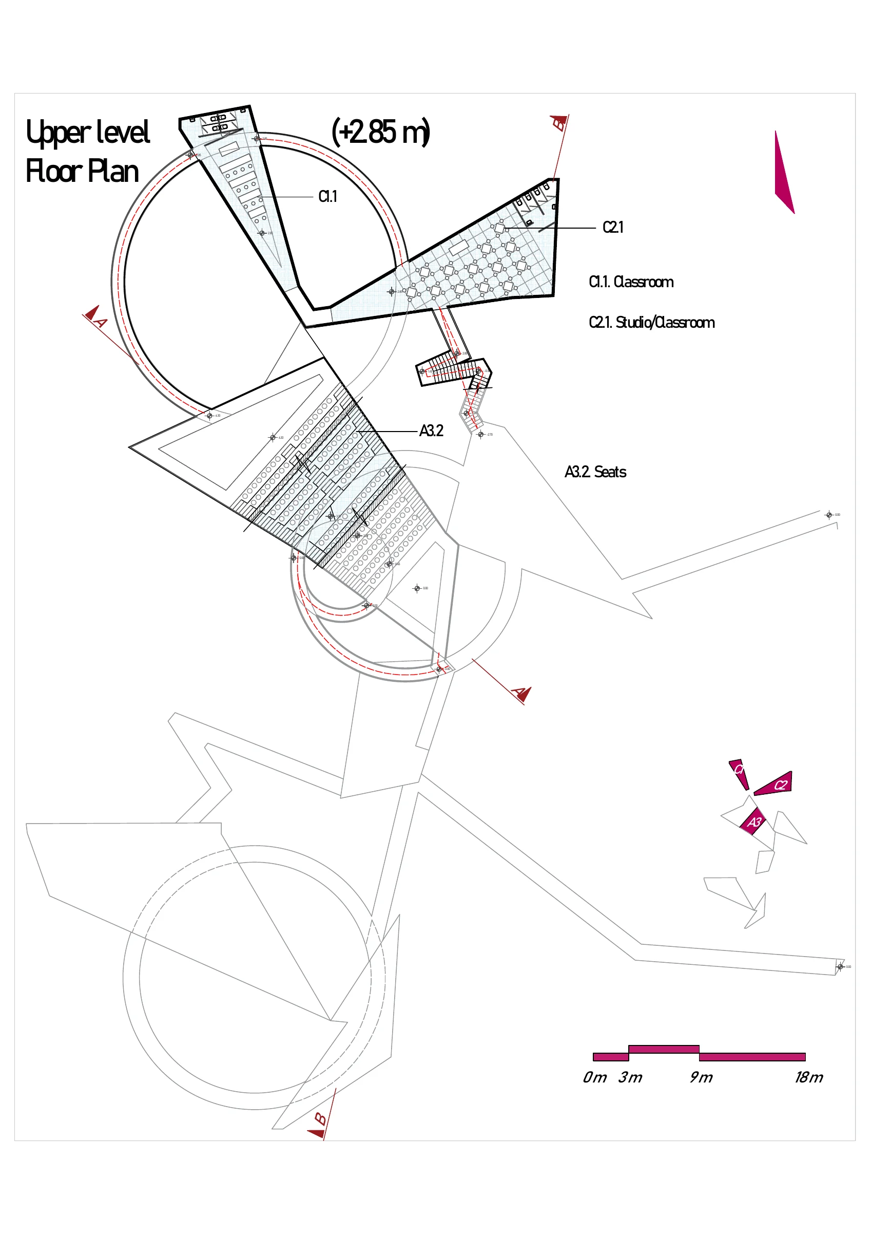
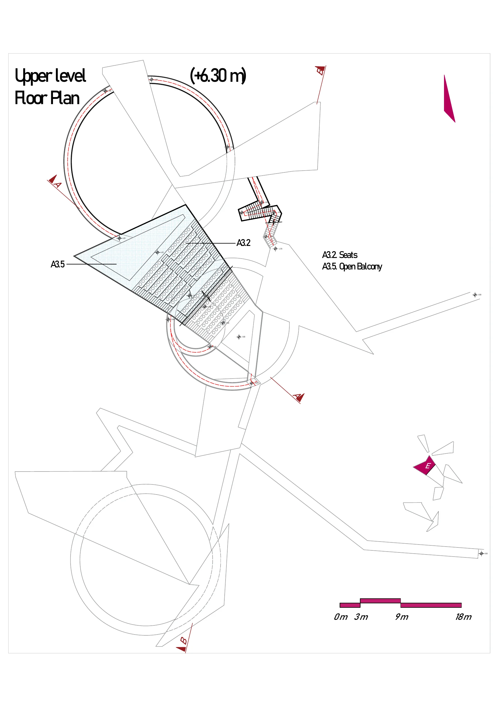
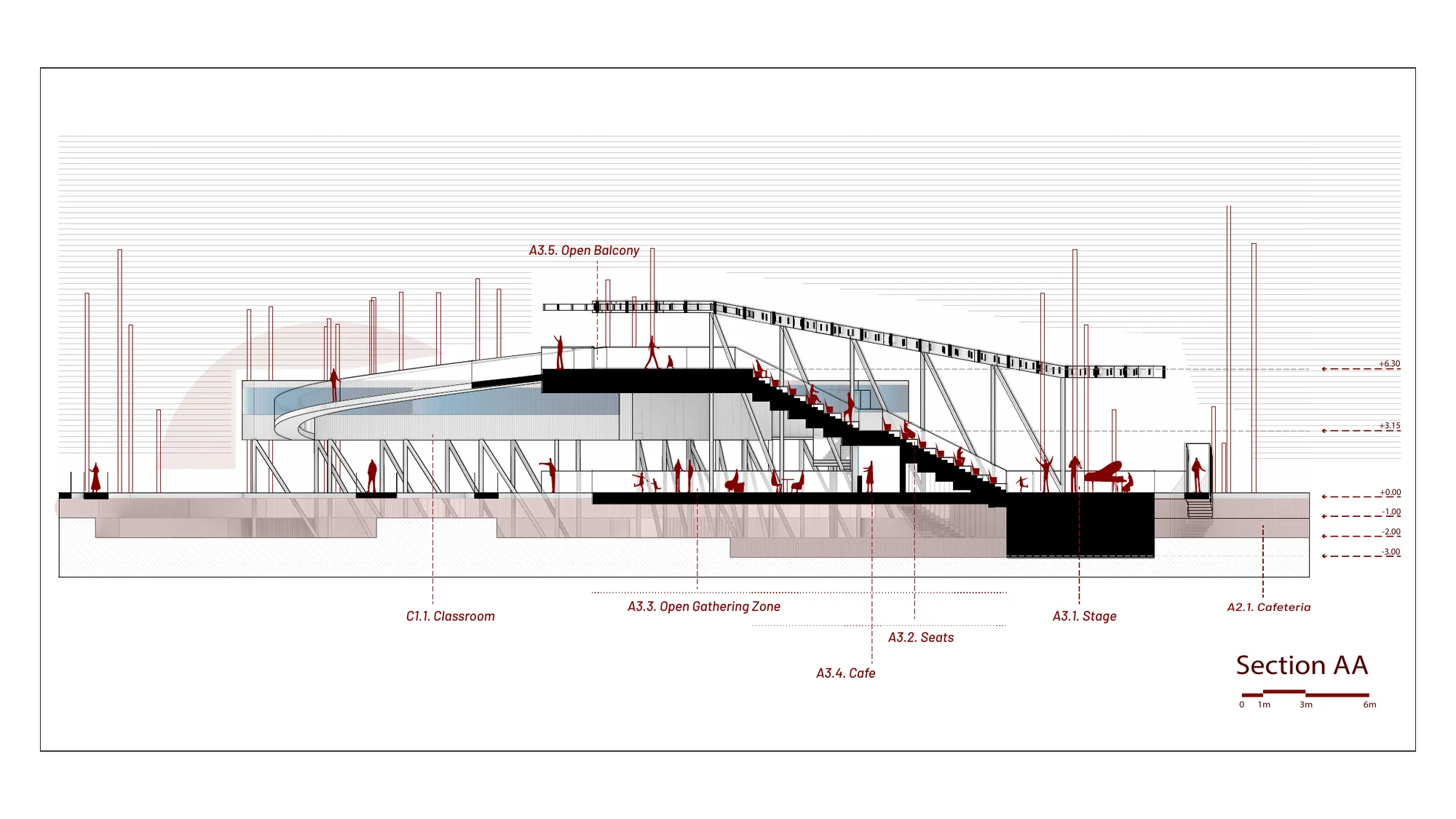
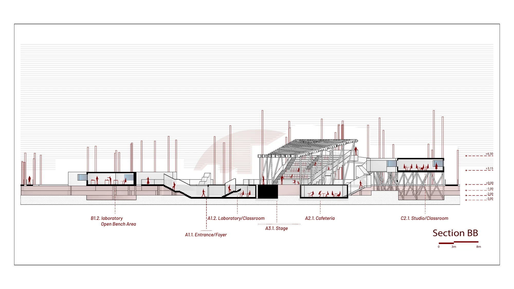
Triangular volumes grow from the grid, some above the water, some below it, linked by ramps and bridges.
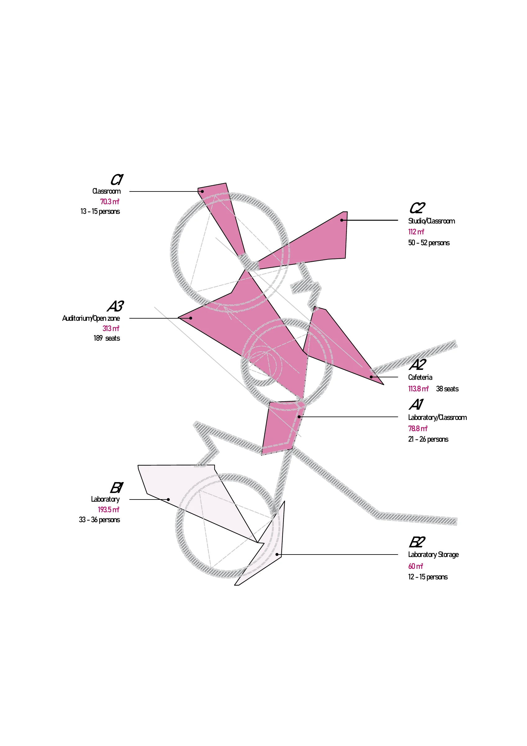
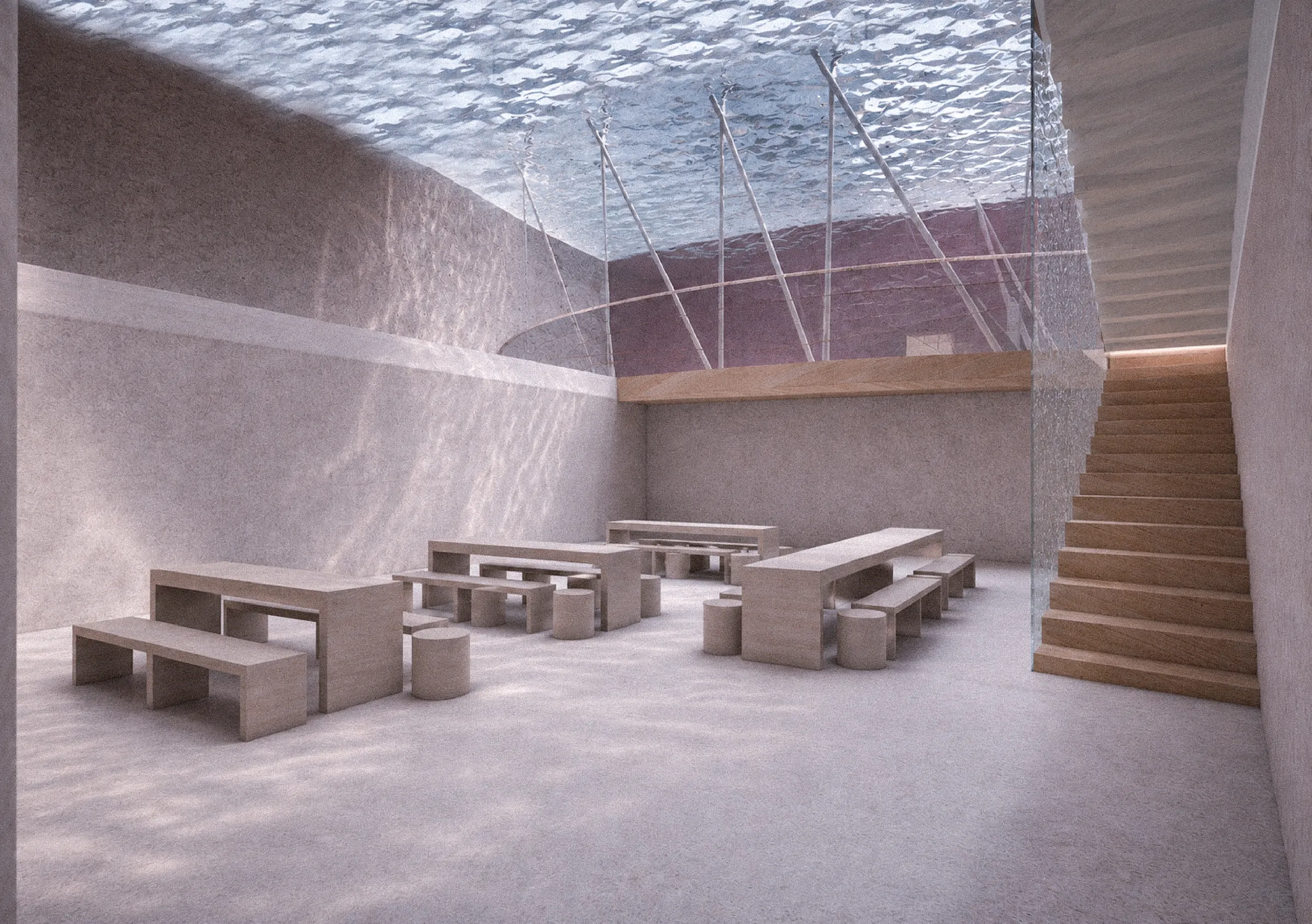
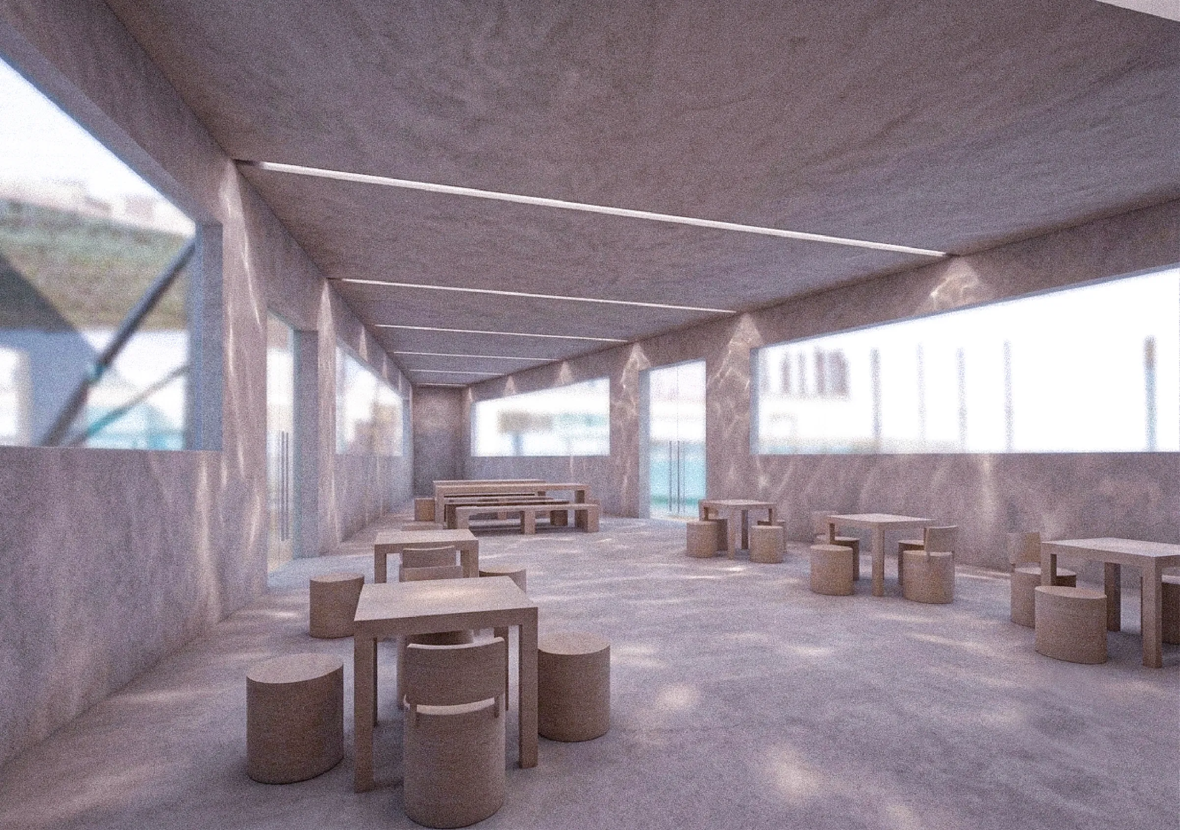
Cafeteria, auditorium, laboratories, dry lab, storage, classrooms and studios, plus a constructed water basin.
Views
A research and sonification network on the shoreline of a lake that keeps disappearing — turning invisible contamination into sound.
Plans & sections

Presentation poster